Floods and E-Resilience
A flood is the rising and overflowing of a body of water especially onto normally dry land. Floods can have severe consequences for people and critical ICT infrastructure in Asia and the Pacific. The E-Resilience Toolkit offers insights into a spectrum of available ICT tools and best practices that may benefit policymakers, DRM professionals and vulnerable communities in the Asia-Pacific region to enhance e-resilience and disaster risk management in the context of flood hazard.
Displaying 15 - 21 of 55 tools and best practices relevant to flood hazard.
-
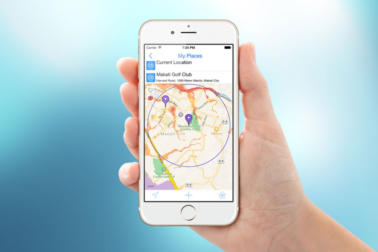
The smartphone application Arko aims to provides information on major rains, typhoons and floods in the Philippines.
-
The Global Navigation Satellite System (GLONASS) is a space-based satellite system that can assist disaster rescue operations.
-
The Nationwide Operational Assessment of Hazards is a multidisciplinary research center with the goal of helping reduce the impacts of hazards.
-
The Beidou Navigation Satellite system is used to monitor natural disasters occurring in the Peoples Republic of China.
-
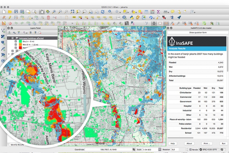
InaSAFE is free software that produces realistic natural hazard impact scenarios for better planning, preparedness and response activities.
-
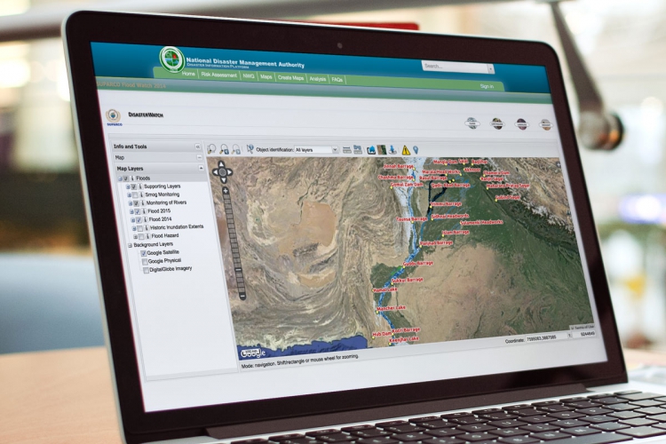
Pakistan Disaster Info is an open source data platform that aims to enable sharing of geospatial datasets and maps on hazards and exposure.
-
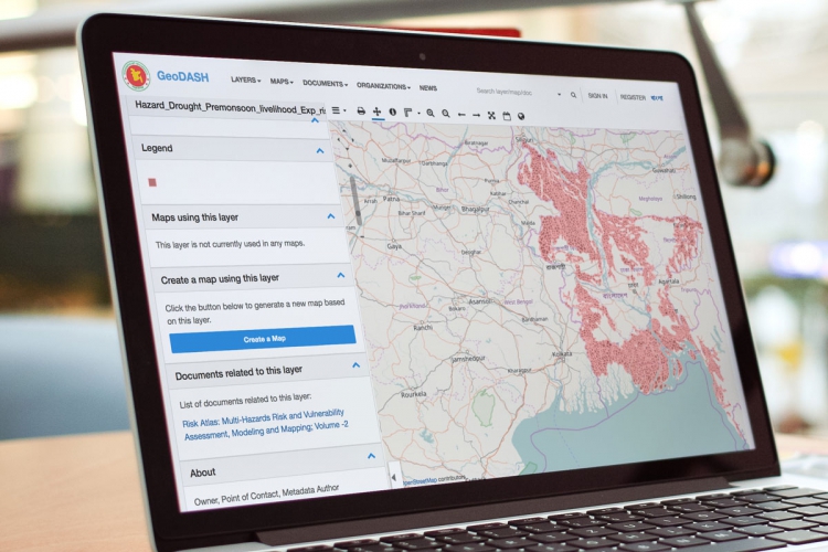
GeoDASH is a geospatial data storing and sharing platform for compiling, updating, and sharing geospatial databases.