
Asia-Pacific E-Resilience Toolkit Tool
Bangladesh Upazila Climate Risk Atlas
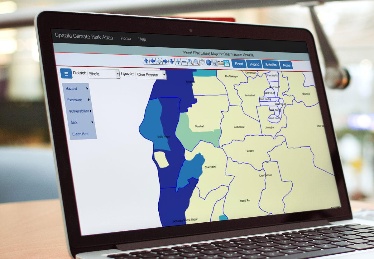
The Risk Atlas is basically a compendium risk maps for the area, population, agriculture and infrastructures at the Upazila level. The Atlas also includes information on different types of vulnerability and exposure to different hazards. The aim of the Risk Atlas is to provide the local government authority with easy, accessible and credible information and references for local level risk reduction and adaptation planning.
The Comprehensive Disaster Management Programme (CDMP II) engaged the Center for Climate Change and Environmental Research (C3ER), BRAC University to prepare the Risk Atlas. A team of engineers, geographers, cartographers, environmental scientist and social scientists worked together to collect, analyze and use updated data and information on hazards, vulnerability and risks both from the national and other published sources. The team shared the draft Atlas with the planners and policy makers at local and national levels for validating data, information and assessing its usefulness.
Reports in the Atlas are available in both English and Bangla and maps can be accessed and downloaded by region and upazila.


