
Asia-Pacific E-Resilience Toolkit Tool
Central Asia Region Flash Flood Guidance System
In the Central Asia region, flash floods account for a significant portion of the lives lost and property damages that result from natural disasters. Given that flash floods can occur at any time or place with disastrous results, there is an urgent need to prioritize efforts that aim to improve early warnings capabilities. Improvements help society cope with flash flood threats by enabling the mandated national authorities to undertake appropriate measures, thereby contributing to protecting the population at risk from the disastrous effects of flash floods.
The purpose of this project is the development and implementation of regional flash flood guidance and early warning systems. The approach will entail development of regional technology, training, protocols and procedures to help mitigate the impacts from flash flooding. The application of such a system allows the National Meteorological and Hydrological Services (NMHSs) of the participating countries to provide timely mearly warnings of flash flooding.
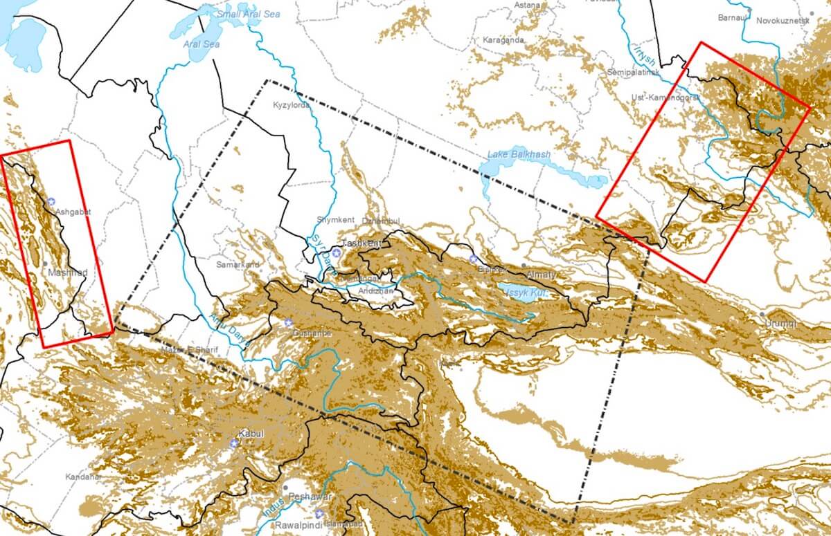
Specifically, the countries to be included in the Central Asia Region Flash Flood Guidance (CARFFG) System project are proposed to be the following: Kazakhstan, Kyrgyzstan, Tajikistan, Turkmenistan, and Uzbekistan.
The CARFFG System operational training took place at the HRC premises in Dan Diego, USA. Trainees from Kazakhstan, Uzbekistan, Tajikistan, and Kyrgyzstan as well as Lebanon, have successfully completed the training courses. Trainees have become familiar with technical and scientific aspects of the Central Asia Region Flash Flood Guidance System and to be able to interpret the CARFFG products for the issuance of flash flood warnings.
Training also emphasized the importance of the local data for particularly bias correction of satellite precipitation estimation. Participants have also been introduced to QGIS, open source GIS and freely available, enabling trainees to further process CARFFG data and products. Additionally, participants were exposed numerous case studies, and hands-on exercises of the past flash flood events that had accrued in the region (“daily operations”).


