
Asia-Pacific E-Resilience Toolkit Tool
DART Tsunami Forecasting System
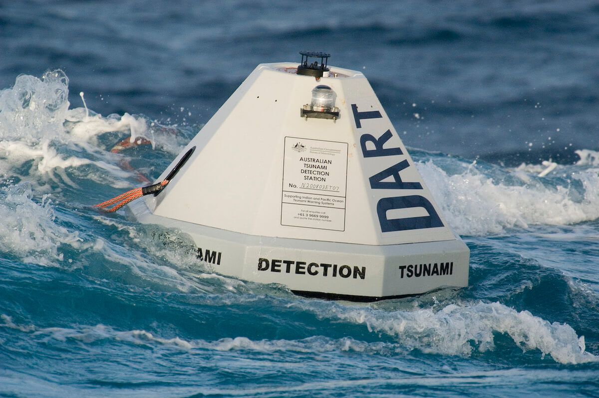
DART is composed of real-time tsunami monitoring systems that are positioned at strategic locations (including Australia, Guam, India, Russian Federation and Thailand) throughout the ocean and play a critical role in tsunami forecasting.
To ensure early detection of tsunamis and to acquire data critical to real-time forecasts, NOAA has placed Deep-ocean Assessment and Reporting of Tsunami (DART®) stations at sites in regions with a history of generating destructive tsunamis. In the Asia-Pacific region, such DART stations are placed in various countries, including Australia, India, Russian Federation and Thailand.
In Guam, the United States NOAA Center for Tsunami Research (NCTR) is working with NOAA's National Ocean Service (NOS) to conduct a tsunami hazard assessment study for the Island of Guam. NOS has provided new bathmetric survey data for Guam, and the NCTR is developing numerical computer grids that can be used with a tsunami inundation model to compute tsunami impact for different sections of Guam. Testing the stability and accuracy of the grids with such tsunami computer model is a vital step in the development of reliable grids to be used in tsunami warning, education and evacuation.
Real-time data can be accessed through a web-based platform.
Photo copyrights: DART / NOAA.


