
Asia-Pacific E-Resilience Toolkit Tool
PAGASA Weather Monitoring, Prediction & Alert System
The National Meteorological and Hydrological Services agency of the Republic of the Philippines is mandated to provide protection against natural disasters through weather monitoring, forecasting and prediction modelling, and related alerts.
The goal is to serve as the central agency for everyone to rely on during all phases of disasters. Philippine Atmospheric, Geophysical and Astronomical Services Administration (PAGASA) provides information through various ICT including online, radio, TV, mobile alerts and even works with village level focal points to quickly spread alerts among citizens during emergency situations.
The agency also monitors and reports on weather and climate in relation to aviation, marine activity, agriculture, and gives emphasis to tropical cyclones and floods as these hazards are prevalent locally. It plays a critical role in all the phases of disasters and is a major contributor to the e-resilience of the country.
One of the products available is the Met-hydro Decision Support Infosys, which provides real time information presented as an online map thatcan be toggled by the user to show layers of information. Humidity, temperature, pressure, solar radiation, wind direction, wind speed, and rain related information is quickly accessible through this system. This information is directly fed from the weather stations. It also provides radar information from various locations around the country as well as satellite images from multiple sources.
To enhance PAGASA’s weather data gathering capabilities, automatic rain gauges (ARG) and automatic weather stations (AWS) were installed throughout the country. These ARGs and AWSs are automated version of the traditional weather station that enables measurements of parameters such as barometric pressure, atmospheric pressure, air temperature, relative humidity, wind speed and direction from remote areas using meteorological sensors attached to rechargeable batteries powered by solar panels. With the use of mobile technology, these stations report through the telecommunication networks.
Further services offered through PAGASA:
- 4-hour rainfall forecast
- Weather forecasts from numerical prediction model
- Flood monitoring for metro Manila
- Risk maps
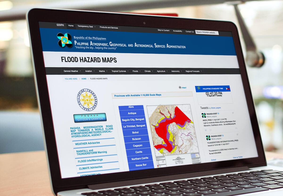
- Flood hazard maps
In order to maintain sustainability, many of these products and services are delivered through strategic partnerships with various local and international agencies and donors. It has been granted ISO 9001:2008 certification.


