
Asia-Pacific E-Resilience Toolkit Tool
Glacial Lake Inventory of the Hindu Kush-Himalayas Region
The Hindu Kush-Himalayas (HKH), extending from the Hindu Kush of Afghanistan and Pakistan in the northwest to the Hengduan Mountains in southwest China in the east, is one of the most heavily glacierized areas in the world.
Glaciers and glacial lakes in the Hindu Kush-Himalayas have been essential natural resources providing fresh water to about one third of the world population. In the HKH, as well as in many other parts of the world, glaciers are shrinking and glacial lakes are being formed.
Besides being a significant natural resource, glacial lakes could possibly be sources of natural disasters generating massive floods and debris flows causing extensive damages downstream such as loss of lives, livelihoods and infrastructures. There are many examples of such incidences in the HKH region when loss of lives and properties had occurred due to glacial lakes outburst floods (GLOFs) caused by breaching of moraine dams damming the lakes.
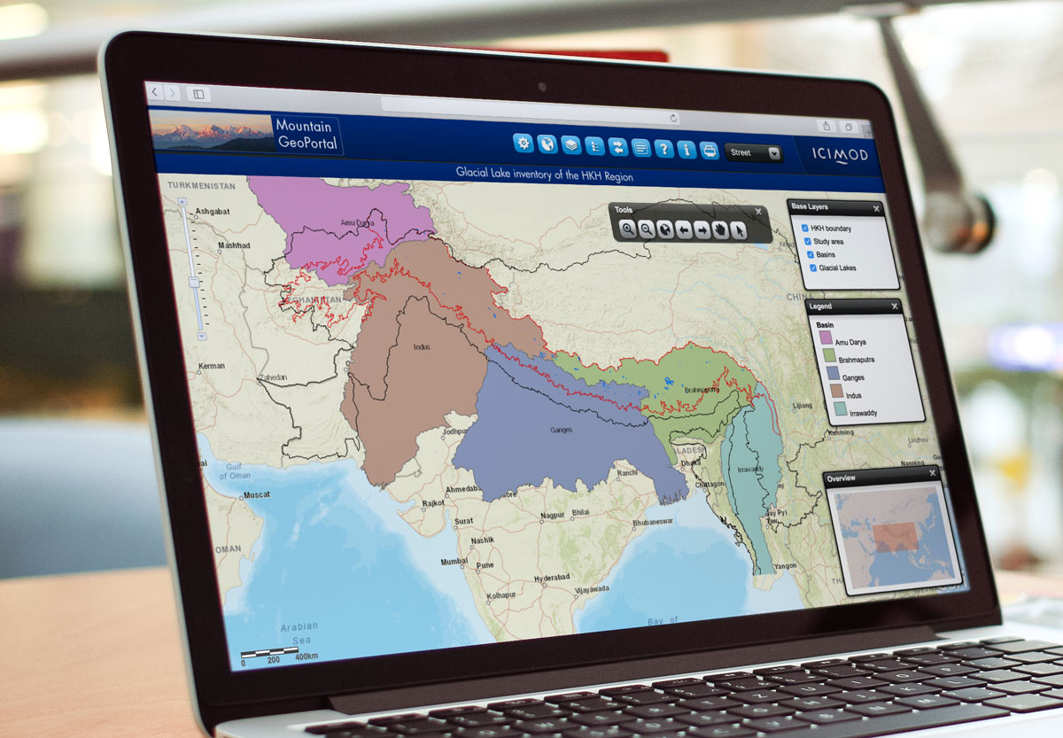
Against this backdrop, the International Centre for Integrated Mountain Development (ICIMOD) undertook Glacial Lake Inventory of the HKH Region using satellite images. Lakes were mapped covering five major river basins of the HKH region namely Amu Darya, Brahmaputra, Ganges, Indus, and Irrawaddy and numbered those lakes accordingly. In summary, there are 20,482 glacial lakes mapped during the inventory preparation which covered an area of about 4,320 sq. km in the region.


