
Asia-Pacific E-Resilience Toolkit Tool
Pacific Catastrophe Risk Assessment and Financing Initiative
The Pacific Catastrophe Risk Assessment and Financing Initiative (PCRAFI) aims to provide the Pacific Island Countries (PICs) with disaster risk modeling and assessment tools. It also aims to engage in a dialogue with the PICs on integrated financial solutions for the reduction of their financial vulnerability to natural disasters and to climate change. The initiative is part of the broader agenda on disaster risk management and climate change adaptation in the Pacific region.
PCRAFI is a joint initiative of SOPAC/SPC, World Bank, and the Asian Development Bank with the financial support of the Government of Japan, the Global Facility for Disaster Reduction and Recovery (GFDRR) and the ACP-EU Natural Disaster Risk Reduction Programme, and technical support from AIR Worldwide, New Zealand GNS Science, Geoscience Australia, Pacific Disaster Center (PDC), OpenGeo and GFDRR Labs.
The Pacific Disaster Risk Assessment project provides 15 countries with disaster risk assessment tools to help them better understand, model, and assess their exposure to natural disasters.It builds on close collaborations between the Secretariat of the Pacific Community through its Applied Geoscience& Technology Division (SPC/SOPAC), WB and ADB, with technical inputs from GNS Science, Geoscience Australia, and AIR Worldwide.
PCRAFI produced detailed probabilistic hazard models for all 15 countries, such as tropical cyclones with winds, storm surge, rain earthquake with ground-shaking, and tsunami. PCRAFI assembled, processed, developed, and organized the largest collection of geo-referenced data for hazard modeling in the region:
- Satellite imagery
- Topographic maps
- Bathymetry maps
- Surface geology maps
- Surface soil maps
- Land cover/land use maps
- Geodetic and fault data
- Historical catalogs of tropical cyclones and earthquakes
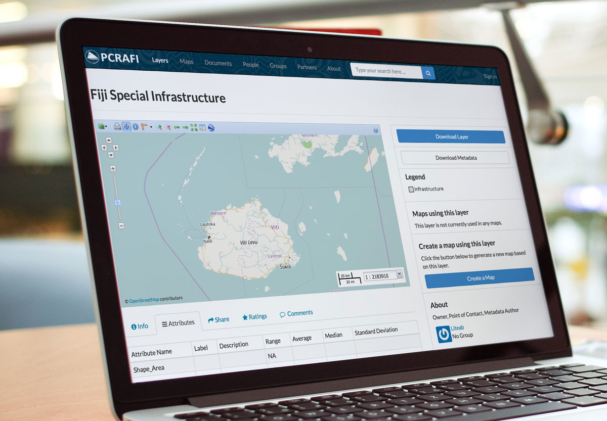
For example, PCRAFI offers a map layer of critical infrastructure on various Pacific islands, which is available for download and may be used by policymakers and ICT professionals to enhance e-resilience in the Pacific region.


