
Asia-Pacific E-Resilience Toolkit Tool
WGMS World Glacier Monitoring Application
The World Glacier Monitoring Service (WGMS) and UNESCO jointly launched the Glacier smartphone application. This information system aims at bringing scientifically sound facts and figures on worldwide glacier changes to decision-makers at governmental and intergovernmental levels as well as reaching out to the general public.
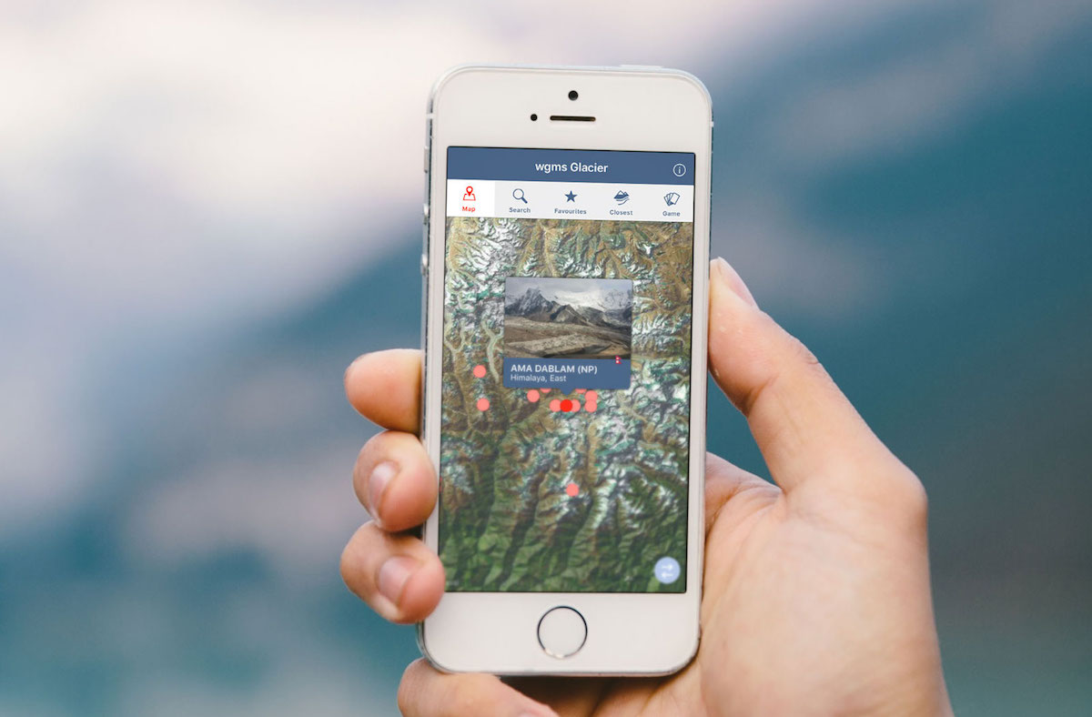
The WGMS Glacier App provides a map interface based on satellite images that display all the observed glaciers in the user’s proximity. Basic information is provided for each glacier, including photographs and general information on size and elevation. Graphs with observation data illustrate the glacier’s development, along with information on latest principal investigators and their sponsoring agencies as well as detailed explanations of the measurement types.
Additionally, a text search allows the user to filter the glacier by name, country, region, measurement type and the current “health” status, i.e. if the glacier has gained or lost ice over the past decade. A compass shows the closest observed glaciers in all directions from the user’s current position.
The smartphone application is available for both iOS and Android operating systems.


