
Asia-Pacific E-Resilience Toolkit Tool
GeoDASH Geospatial Data Platform Bangladesh
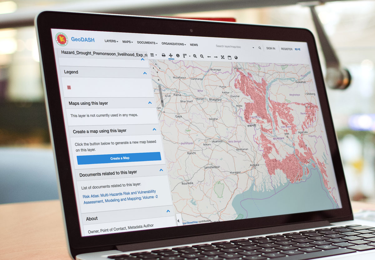
GeoDASH is geo-spatial data storing and sharing initiative by Bangladesh Government. It is a web based platform for compiling, updating and sharing geospatial database which will allow facilitating the use, management, exchange and quality control of geospatial data sets in a collaborative manner. Some of the features that GeoDASH provides are listed below:
- Interoperability: GeoDASH is Open GeoSpatial Consortium (OGC) standards compliant to optimize interoperability between programs across the enterprise for managing, sharing, and analyzing geospatial and non-geospatial content.
- Map sharing: Users can share a map via e-mail, LinkedIn, Twitter, Facebook etc. to maximize data sharing and promotion of work. One can also publish and embed someone's map right away.
- Importing of own layers: Layers are the contents of a map. Users can add layers of the data format for Vector (Example: .shp, .shx, .dbf, .prj) or Raster (.tiff, .img). Data projection in WGS 84 or BTM should be ensured.
GeoDASH also offers map layers for Bangladesh on fibre-optic connectivity and backbone paths, which may benefit relevant parties in enhancing e-resilience in the country.


