
Asia-Pacific E-Resilience Toolkit Tool
ERDAS IMAGINE Geospatial Data Authoring System
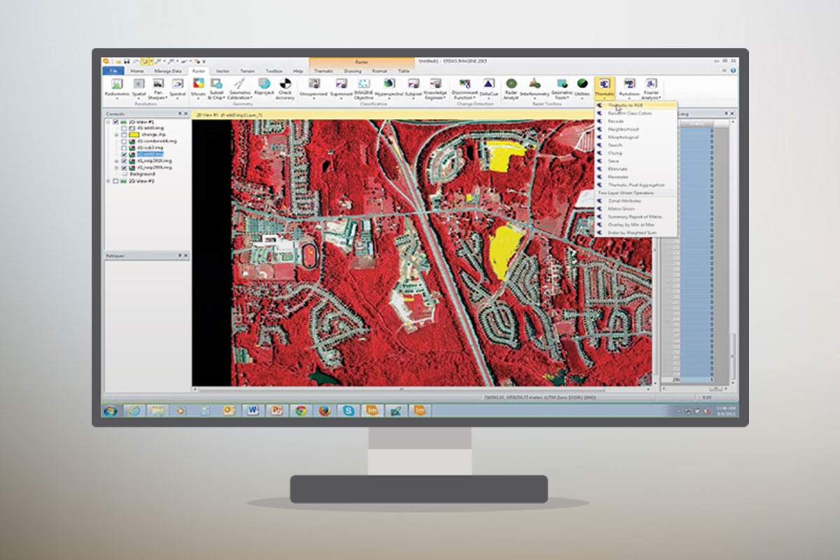
ERDAS IMAGINE is a geospatial data authoring system, including tools for remote sensing, photogrammetry and GIS processing. The tool has been promoted, among others, in the North and Central Asia region.
The software has various characteristics:
- Assess disaster situations in the field and collect information on the damage to assist in recovery operations.
- An extensive repository enables multiple agencies to rapidly access and interactively work from a single source of truth.
- View data related to disaster planning, response, and recovery in multiple contexts (e.g., desktop, web, mobile, 3D) for a fully coordinated interagency response.
- Proactively evaluate exposure by simulating the impact of storm events on critical facilities such as schools and hospitals before danger strikes. Plan evacuation and recovery response. Enhance existing planning efforts by combining late-breaking information to obtain a complete view of a changing situation.
ERDAS IMAGINE promotes the development of a unified information source for better information sharing and coordination. It promotes preventing inefficiencies, errors, and risks that arise when departments work with islands of data, and simultaneously improve data distribution by easily organizing massive volumes of mission-critical data and quickly presenting it to first responders and relief agencies.
The software allows to enlist the masses to help define and locate issues during disasters, such as road damage, tornado appearances, issues at shelter locations, water leaks, and more. Field personnel can view the latest information in real-time with mobile tablet devices and respond appropriately.


