E-Resilience: Know Your Risk
It is essential that vulnerable communities and policymakers in the Asia-Pacific region are aware of the disaster risks, as this usually leads to the pursuit of preparedness and mitigation efforts, and can significantly affect ways critical ICT infrastructure is built, maintained and protected. The E-Resilience Toolkit offers insights into a spectrum of available ICT tools and best practices that may benefit policymakers, DRM professionals and vulnerable communities in Asia and the Pacific to enhance e-resilience and disaster risk management in the context of risk awareness.
Displaying 8 - 14 of 49 tools and best practices relevant to knowing your risk.
-
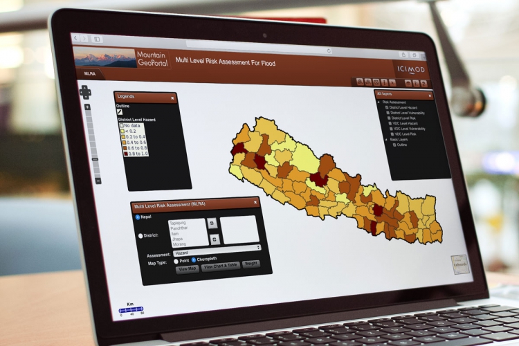
The Nepal Multi Level Risk Assessment For Flood system provides an interactive interface to analyze historical disaster event and loss database.
-
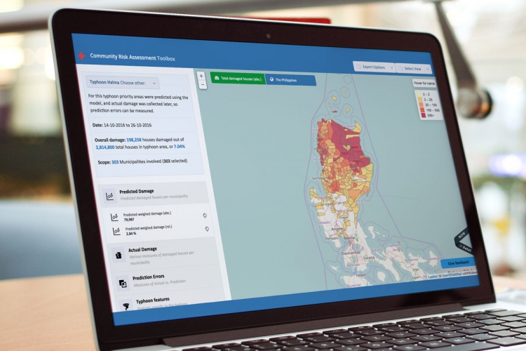
The portal offers an overview of areas most in need by combining pre-disaster community risk assessments and post-disaster data.
-
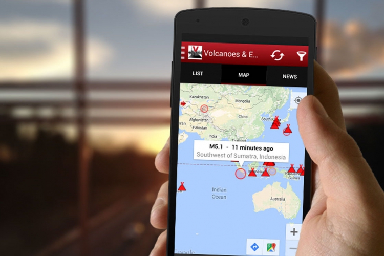
The Volcanoes & Earthquakes smartphone application shows the latest earthquakes and active volcanoes to vulnerable communities in the region.
-
The Global Navigation Satellite System (GLONASS) is a space-based satellite system that can assist disaster rescue operations.
-
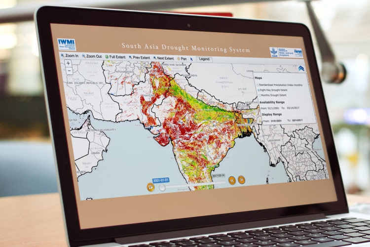
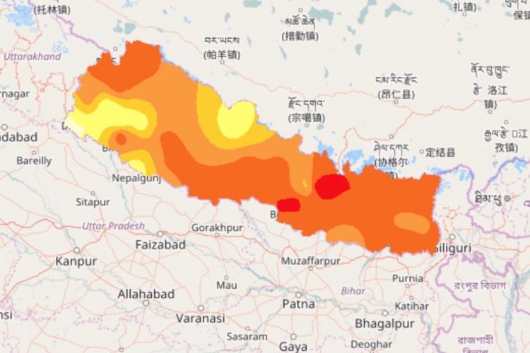
The South Asia Drought Monitoring system provides a weekly map that reflects drought conditions in the South Asia subregion.
-
The Beidou Navigation Satellite system is used to monitor natural disasters occurring in the Peoples Republic of China.
-
The Nepal Government Geo-Portal is a data sharing portal that offers maps and map layers relevant to disaster risk management.